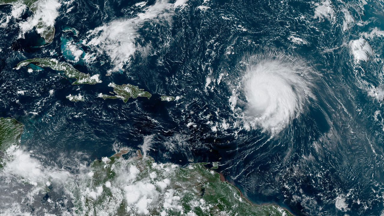
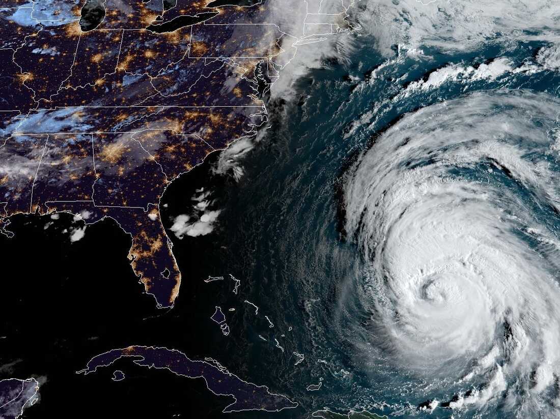
Hurricane Lee, currently a Category 2 hurricane, is moving northwest over the Atlantic Ocean towards the coasts of New England and eastern Canada.

Dangerous Hurricane Lee Now A Category 2 Hurricane, Heads For New England| CNN
As Hurricane Lee approaches, hurricane and tropical storm watches have been issued for portions of New England.
A storm surge watch was also issued for Cape Cod Bay and Nantucket. Hurricane Lee is expected to remain large and dangerous throughout the weekend, with a high probability of becoming a large hurricane near the New England coast on Friday night and Saturday.
Hurricane Lee is currently about 965 miles south of Nantucket, Massachusetts, moving at 10 mph. Hurricane Lee has the potential to bring hurricane conditions, heavy rainfall, and coastal flooding to eastern Maine on Saturday.
There is a risk of life-threatening storm surge flooding in certain parts of southeastern Massachusetts, including Cape Cod and Nantucket.
ALSO READ| City Of Massachusetts Residents Evacuates Due To Flooding; City At Risk Of Dam Failure
Due to Hurricane Lee’s large size, the impacts from Hurricane Lee will extend well beyond its center.
Before reaching New England, Hurricane Lee will bring dangerous surf and rip currents to various islands and the U.S. East Coast.
The projected path of Hurricane Lee illustrates its most likely course, but there is still a chance for it to deviate outside the depicted cone up to 33% of the time.
Hurricane Lee is the 12th named storm of the Atlantic hurricane season and is expected to grow larger as it travels. The exact location of the landfall of Hurricane Lee is still uncertain, BBC News reports.
READ MORE|Hurricane Lee tracker: Follow path of ‘dangerous’ storm as it heads for New England


